| Champion Hill Home |
| Civil War Album Home |
| Return to Yazoo Pass - Siege of Vicksburg |
|
|
||||||
|
|
||||||
|
Area Map | |||||
 |
 |
|
|
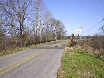
Lancaster Road (wartime Jackson Road) crossing of Bakers Creek, southeast of Bolton looking eastward toward Jackson Locate on Map |
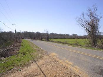
Lancaster Road
looking westward. The Union Army coming from Jackson
camped in the fields to the left and right of the road. The bridge
that is visible is not the Bakers Creek bridge
from the previous photograph. The treeline in the
distance marks the path of Bakers Creek |
|
 |
 |
|
|
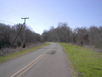
Lancaster Road looking west. The Bakers Creek Bridge is in the bend of the road in the distance Locate on Map |
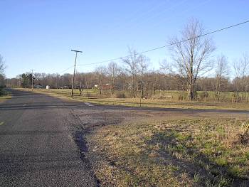
Junction of Lancaster Road and Airplane Road southeast of Bolton Locate on Map |
| Dawn Page1 Page2 Page3 Page4 Page5 Next |
 |