 |
 |
|
|
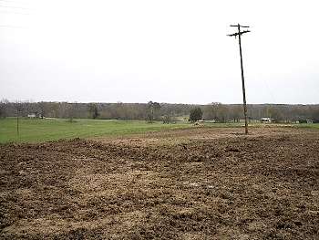
(3-01) Ridge west of Jackson Creek bridge, view looking northwest |
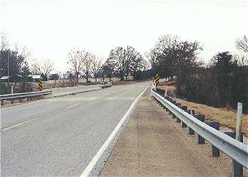
(1-01) Jackson Creek bridge, view looking west. Photo by Brian Risher |
|
 |
 |
|
|
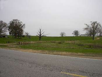
(3-01) Jackson Creek bridge from ridge west of the creek. Bridge is to the left of the darker green tree in right center of photo, view looking southeast |
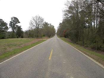
(3-01) Approximate location of CSA roadblock on Raymond Road near Davis Plantation, view looking east. Site is 1.7 mi. east of Jackson Creek bridge |