 |
 |
|
|
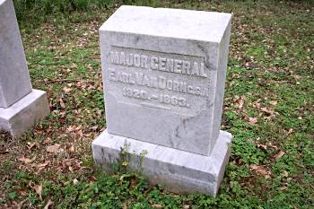
Gen. Van Dorn grave |
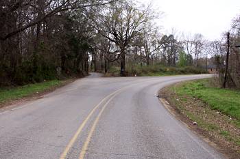
West view of the "Y" (intersection of the historic Rodney and Bruinsburg Roads) near the west edge of Port Gibson. Here Confederate troops were deployed to block both roads approximately three miles beyond the intersection. A deep cane choked ravine separated the two road blocks which prevented one flank from reinforcing the other. To reach the flanks , the Confederates had to march back to the "Y" |
|
 |
 |
|
|
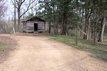
Lookout Point. Reconstruction of the Bayou Pierre Presbyterian Church, built between 1802 and 1807. The Confederate right flank was anchored here. Confederate General Edward Tracy was killed nearby |
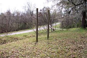
Lookout Point. View looking southwest across Old Bruinsburg Road |