Battle of Fredericksburg,
Virginia
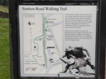
Half-Mile Sunken Road Walking Trail
Courtesy of G. L. Schulze MA2 (EXW) U.S. Navy
| 92 Photos & Panoramas: Select Back Button to Return | ||
 |
 |
|
|
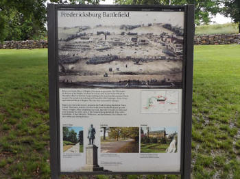
(June 2016) Enlarge Detail-1 Detail-2 Fredericksburg Battlefield Interpretive Marker near the Visitor Center. View looking west, reconstructed wall in background |
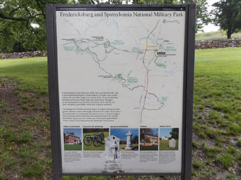
(June 2016) Enlarge Detail-1 Detail-2 Detail-3 Fredericksburg and Spotsylvania National Military Park Interpretive Marker near the Visitor Center. View looking west, reconstructed wall in background |
|
|
|
||
 |
 |
|
|
(June 2016) Enlarge Sunken Road Walking Trail Interpretive Marker. Parking area behind the visitor center |
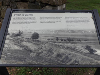
(June 2016) Enlarge Field of Battle Interpretive Marker. South end of a reconstructed section of the Stone Wall near the visitor center |
|
 |
 |
|
|
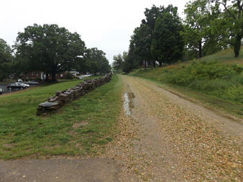
(June 2016) Enlarge Looking south from near the Sunken Road Walking Trail marker. Visitor Center in left background |
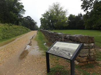
(June 2016) Enlarge Field of Battle marker in photo above. View looking north at south end of a reconstructed section of the Stone Wall |
|
 |
 |
|
|
(June 2016) Enlarge Panorama from camera position in photo above |
(June 2016) Enlarge Panorama from camera position in photo above |
Fredericksburg: G. L. Schulze Photos Page1 2 3 4 5 6 7 8 9 10 11 Next
Sites by State Home Site Index