|
Raymond Walking/Interpretive Trail Page3 Page1 Page2 Page3 Page4 Page5 Page6 Next |
||
 |
 |
|
|
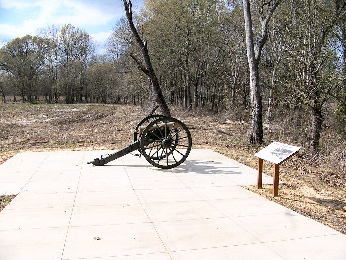
Enlarge Interpretive Marker-6: McPherson's
Deployment |
Enlarge Interpretive Marker-6: McPherson's
Deployment |
|
 |
 |
|
|
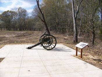
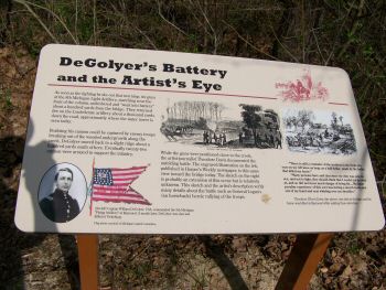
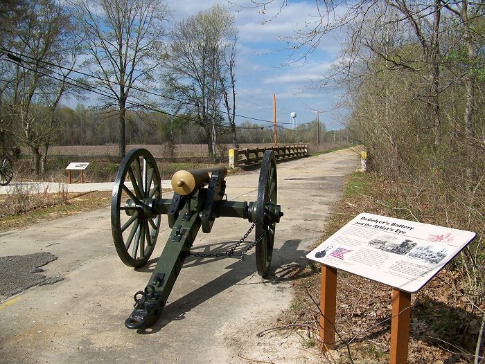
Enlarge Interpretive
Marker-7: DeGolyer's Battery |
Enlarge Interpretive Marker-7: DeGolyer's Battery |
|
 |
 |
|
|
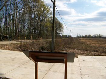
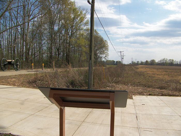
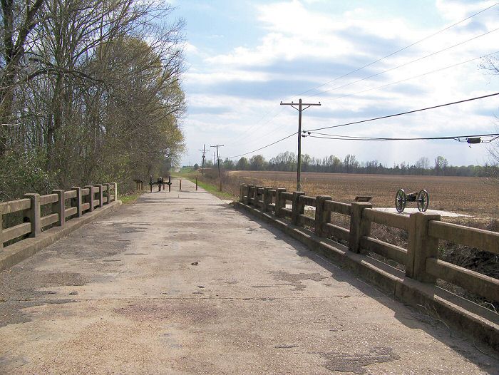
Enlarge Old Mississippi SH-18 Fourteenmile Creek Bridge. View looking south. DeGolyer's Battery is directly ahead and the stop for McPherson's Deployment is to the right |
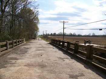
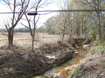
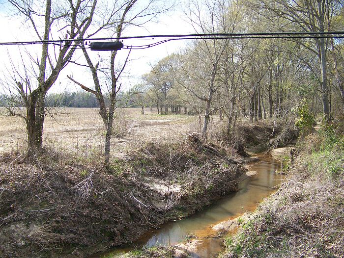
Enlarge West view of Fourteenmile Creek from the bridge |